Sketch Map
|
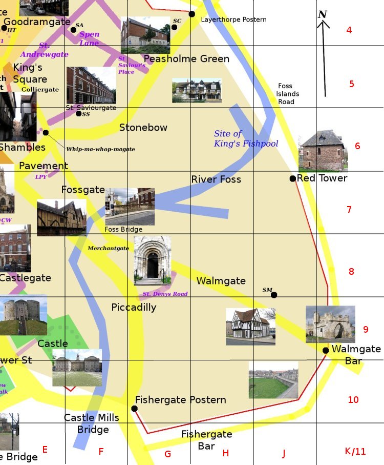
HungateF6-G6 Originally running south east from St. Saviourgate (at St Saviour's Church towards the River Foss, but now starting at Stonebow which cut across the course of the old road. The name also applies to the whole area between Stonebow and the River Foss which underwent slum clearance in the 1930s, redeveloped in the 1950s and 60s and now is undergoing a further redevelopment. Photo: taken 2005-7 |