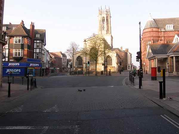
York Within the Walls: Pavement: Looking Southwest.


Junction of Piccadilly (left), Parliament Street (right), Coppergate (bear left) and High Ousegate (bear right).

Interesting

Other Views

Directions

Name Derivation
Market Cross

8 Pavement
2,4,6 Pavement
Sketch Map

Bear Left
Bear Right
Turn Left
Turn Right
Turn Back

Pavement

One of the two historic market sites in York mentioned in the Domesday Book as Marketshire.

Until Parliament Street (on right) was cut through to create a larger market place in 1835 Pavement continued through to the division of Coppergate and High Ousegate, hence the name of the church ahead: All Saints, Pavement. It wasn't until 1912 that Piccadilly (on left) was cut through into Pavement thereby isolating the church from thestreet after which it is named.

At this junction Parliament Street leading to St. Sampson's Square is on the right, Piccadilly is on the left whilst ahead bearing left is Coppergate leading to Castlegate and the Castle, and bearing left is High Ousegate leading to Ouse Bridge and Micklegate.

Photo: taken 15 April 2007 Photo Copyright Dave Woodcock 2008.

Home Page     Street Index     Place Index     Walk Index     References
This page last modified Wednesday, 14 January 2009.     Site owner: Dave Woodcock, who is solely responsible for the site contents.